City of Valdosta and Lowndes Co. add flood mapping resource
Residents in Valdosta and Lowndes County now have a new resource available to them to monitor the water levels of the Withlacoochee River.
Through a partnership between the City of Valdosta, Lowndes County and the U.S. Geological Survey (USGS), a Flood Inundation Map of the Withlacoochee River has been completed.
"It was a corporative agreement between the City of Valdosta, Emergency Management in Lowndes County, and USGS. We were able to put together these maps, they should be a useful tool as we approach hurricane season and any flooding events in the future" said Pat Collins, City Engineer.
The $135,000 project began in late 2016 and was completed earlier this year.
The new USGS Flood Inundation Map focuses its efforts at state and local levels to help communities understand flood risk and make cost-effective mitigation decisions.
In the last 20 years, a number of large flood events have occurred in Georgia showing the need for these FIM projects.
The South Atlantic Water Science Center has worked with local cities and counties in Georgia to produce (7) FIM sites, Valdosta/Withlacoochee River being the most recent.
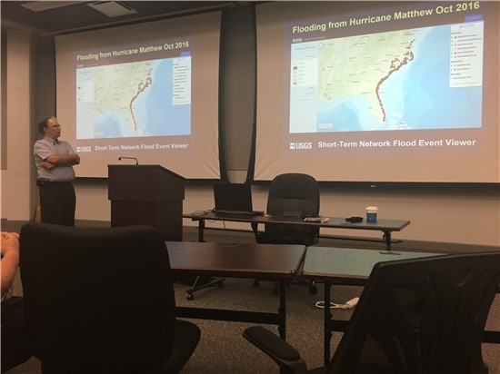
Jonathan Musser, a Hydrologist with USGS met with Emergency Management Officials from both municipalities on Tuesday to go over the new FIM map. "It's important because we are basically mapping the flood before it happens," said Musser.
The new USGS Flood Inundation Map of the Withlacoochee River will be another resource for residents of the community to use in the case of severe weather.
The map allows people to see approximately what areas could be inundated by a flood event and what roads will be overtopped with water.
Lowndes County Emergency Management Director, Ashley Tye, looks forward to the efficiency by which Withlacoochee water level impacts can now be monitored. "Flood Inundation mapping is a tremendous addition to the resources used by planning, zoning, engineering and first responder personnel across Lowndes County. Lowndes County Emergency Management encourages citizens to take advantage of the technology made available through this process."
If you have any additional questions you can contact:
Paige Dukes, Lowndes County PIO - pdukes@lowndescounty.com or 229-671-2400
Ashlyn Becton, City of Valdosta PIO - abecton@valdostacity.com or 229-259-3548
To learn more about Flood Inundation Maps, here are some helpful links:
- USGS Flood Inundation Mapping (FIM) Program
- USGS Flood Inundation Mapping Program Flyer
- Scientific Investigations Report 2018-5011 – Flood Inundation Maps for the Withlacoochee River from Skipper Bridge Road to St. Augustine Road, within the City of Valdosta, Georgia and Lowndes County, Georgia
- Flood Inundation Maps